Annapurna Circuit Trek: Complete Guide, Cost, Itinerary & Best Time

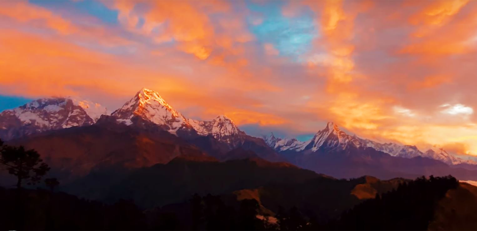
Himalayan Video Documentary & Route Guide
Watch route highlights and expedition footage for Annapurna Circuit Trek: Complete Guide, Cost, Itinerary & Best Time
The Crown Jewel of Himalayan Ecological Diversity
If the Everest Base Camp trek is an exploration of granite rock and ice, the Annapurna Circuit is a living geographical kaleidoscope. In the span of just ten to fourteen days, you begin your hike in lush subtropical rice terraces surrounded by banana trees at 800 meters, climb through towering pine forests and alpine gorges, step into the high Tibetan-influenced desert badlands of Manang, and summit the windswept 5,416-meter Thorong La Pass before dropping into sacred Muktinath and the lunar canyons of Lower Mustang. Despite recent dirt-road extensions on the valley floors, the authentic Annapurna Circuit remains deeply rewarding, thanks to the newly developed Natural Annapurna Trekking Trails (NATT) marked with red-and-white trail blazes that keep hikers on peaceful footpaths far away from vehicle traffic.
Annapurna Circuit Trail Overview
| Metric | Detail | Notes |
|---|---|---|
| Total Trail Distance | 160 – 210 km (100 – 130 miles) | Varies based on side trips and exit points |
| Highest Elevation | Thorong La Pass: 5,416 m (17,769 ft) | Requires a pre-dawn 4:00 AM pass crossing |
| Recommended Duration | 14 to 18 Days | Including Tilicho Lake excursion & acclimatization |
| Entry Point | Besisahar / Dharapani (Lamjung) | Accessed via private jeep or tourist bus from Kathmandu |
| Exit Point | Jomsom (fly to Pokhara) or Tatopani | Many continue onward to Poon Hill and Nayapul |
| Key Permits | ACAP (Annapurna Conservation Area) + TIMS Card | Validated at checkpoints in Besisahar, Dharapani, and Jomsom |
The Recommended 16-Day Itinerary Featuring Tilicho Lake
Adding the side trip to Tilicho Lake (4,919 m)—one of the highest alpine lakes in the world—is the single best decision an experienced hiker can make. The surreal turquoise waters framed by the sheer ice wall of Tilicho Peak (7,134 m) are unmatched, and the additional acclimatization makes crossing Thorong La feel significantly easier.
- Day 01: Drive from Kathmandu to Besisahar & connect by local 4WD jeep to Dharapani (1,860 m).
- Day 02: Dharapani to Chame (2,670 m). 5 hours. Follow the roaring Marsyangdi river through oak and pine forests with dramatic views of Annapurna II.
- Day 03: Chame to Upper Pisang (3,300 m). 5 hours. Cross through the dramatic curved granite face of Paungda Danda (Swarga Dwar, the "Gateway to Heaven"), an unbroken 1,500m rock wall revered by locals.
- Day 04: Upper Pisang to Manang (3,540 m) via Ghyaru and Ngawal. 6.5 hours. The high trail offers some of the finest mountain views in Asia, looking directly across at Annapurna II, III, IV, and Gangapurna.
- Day 05: Acclimatization Day in Manang (3,540 m). Visit the historic Praken Gompa for an altitude blessing from the resident lama, or take an active hike up to the turquoise Gangapurna glacial lake.
- Day 06: Manang to Siri Kharka (4,060 m). 4.5 hours. Branch off the main circuit trail toward the remote western valley leading toward Tilicho Lake.
- Day 07: Siri Kharka to Tilicho Base Camp (4,150 m). 4 hours. Navigate the famous landslide scree path, an otherworldly trail carved into loose shale cliffs.
- Day 08: Early Morning Hike to Tilicho Lake (4,919 m) & Return to Siri Kharka. 7 hours total. Stand in awe before the frozen glacial lake surrounded by pristine silence before retracing steps to Siri Kharka.
- Day 09: Siri Kharka to Yak Kharka (4,050 m). 4.5 hours. Reconnect with the traditional circuit trail above Gunsang village.
- Day 10: Yak Kharka to Thorong Phedi or High Camp (4,850 m). 4 hours. Short, steady ascent through barren moraine. Rest early to prepare for pass day.
- Day 11: Thorong High Camp over Thorong La Pass (5,416 m) to Muktinath (3,760 m). 8 hours. 4:00 AM start with headlamps in freezing alpine wind. Reach the prayer-flag covered crest of Thorong La at sunrise, then descend 1,650 vertical meters into the sacred pilgrimage oasis of Muktinath.
- Day 12: Muktinath to Kagbeni & Jomsom (2,720 m). 5.5 hours. Walk through the medieval mud-walled village of Kagbeni at the gateway to Upper Mustang, then follow the windy Kali Gandaki riverbed to Jomsom.
- Day 13: Morning Mountain Flight from Jomsom to Pokhara. Spend the afternoon relaxing beside Phewa Lake.
Budget & Expense Guide
- Transportation: Tourist bus from Kathmandu to Besisahar ($10 – $15 USD); private shared jeep from Besisahar to Dharapani ($20 – $30 USD); flight from Jomsom to Pokhara ($130 – $155 USD).
- Permits: ACAP Permit (NPR 3,000 / ~$23 USD) + TIMS Card (NPR 2,000 / ~$15 USD).
- Teahouse Living Expenses: $30 to $40 USD per day for meals, hot lemon drinks, and lodging. Manang features legendary bakeries serving warm apple pies, cinnamon rolls, and fresh yak cheese.
Nepal View Treks Team
Certified Himalayan GuideTeam Guide · Govt. License #2498/075 · TAAN Member #1482
This Himalayan guide is authored and verified by Nepal View Trek’s licensed mountain guides. All recommendations adhere to high-altitude medical protocols, environmental Leave No Trace standards, and current Nepal Tourism Board regulations.
Trending & Most Read Himalayan Guides
 Trekking Guides
 Trekking Guides